Oklahoma Breeding Bird Atlas • Oklahoma Winter Bird Atlas
The Sutton Avian Research Center conducted a Winter Bird Atlas Project in Oklahoma from late 2003 through early 2008. The atlas project utilized volunteers to survey approximately 600 randomly selected blocks of land throughout Oklahoma, identifying all of the species present in these blocks during winter.
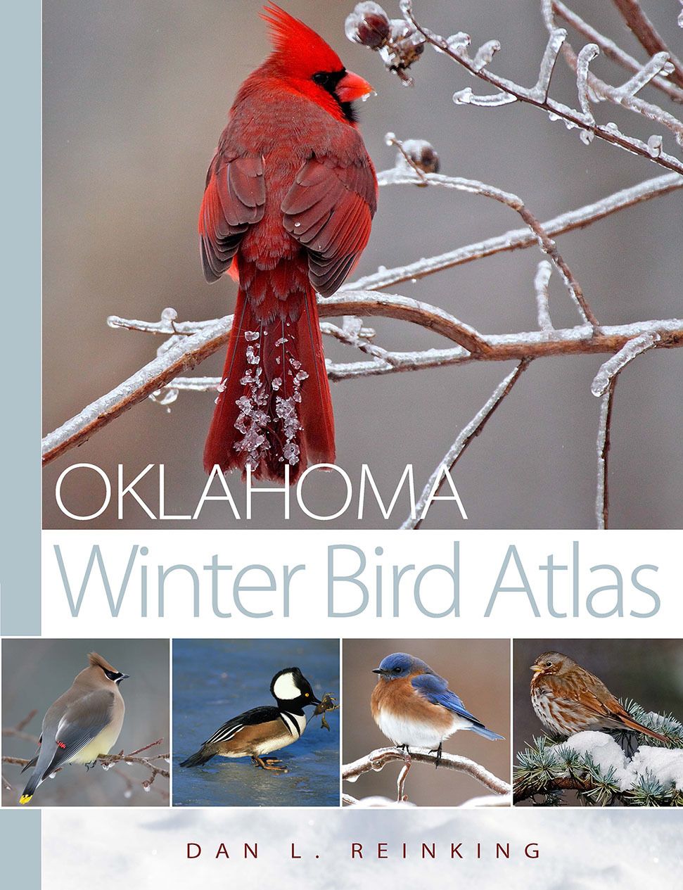
Published by the University of Oklahoma Press
Maps showing the wintering distribution for each species throughout the state were produced in combination with text and color photos to comprise a complete book. This project complements the Oklahoma Breeding Bird Atlas. One long-term benefit of atlas projects is that they can be repeated in 20-25 years, and changes in the distributions of birds may indicate the well being of those species in the state.
Project objectives and methods
The Oklahoma Winter Bird Atlas Project (2003-2008) was an effort to gather data on the winter distributions of birds in our state. The results are being published as an atlas, a collection of maps, showing where each bird is found in winter. Over 40 states have either started or completed similar breeding bird atlas projects, but no atlas of wintering birds had yet been published.
Information gained from such projects provides a systematically gathered and repeatable “snapshot” of winter bird distributions within a five-year time frame. In the short-term, these data will provide a more up-to-date and detailed picture of the winter distribution of birds in Oklahoma than is now available. In the long-term, the atlas will provide a benchmark of winter bird distribution in the early 21st century that can be compared to results of a repeated atlas project in 20 or 30 years. The value of such information for bird conservation will be substantial, which underlines the importance of this initial effort.
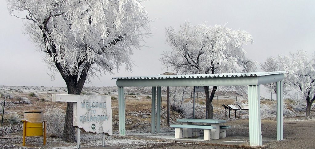
Hoar frost on the Panhandle (Photo by Doug Tozer)
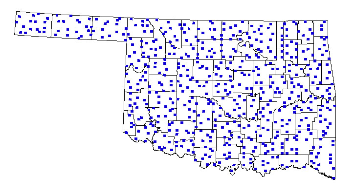
583 atlas blocks selected for surveys
The data for the winter bird atlas project consist of a rough measure of abundance for each species recorded in a survey block (see below for block information). The winter season is further divided into early and late halves, to allow for analysis of movements of wintering birds through the course of a season.
To gather data for the atlas, we used a grid of 7.5 minute quads established by the U. S. Geological Survey. Each of these quads is 7.5 x7.5 minutes of latitude and longitude, or approximately 7 x 8 miles, about one-third the area of a Christmas Bird Count circle. The grid covers the entire state, with about 1200 quads covering Oklahoma. However, the atlas project sampled only one-sixth of every-other quad. This unit of land is referred to as an atlas block, and is about 3.5 x 3 miles in size.
Nearly 600 such blocks were surveyed during the five years of atlas field work. We selected this sampling scheme because of Oklahoma’s relatively large land area and small birder population compared to many of the eastern states which have surveyed more intensively. These are the same blocks that were used during the Oklahoma Breeding Bird Atlas Project.
Feel free to contact us for more information.